For many visitors, Europe means old towns, museums and cathedrals. For many Europeans, the best holiday is a few days on foot in the mountains, sleeping in a hut and waking up above the clouds. The Alps, the Pyrenees, the Dolomites, Norway and Scotland all have carefully marked trail networks, maintained year after year and open to anyone at no charge. You do not need to be a climber. You need to read the signs, pick a route that fits your fitness and respect mountain weather. This guide is for first-timers.
How Europe’s trail networks are organised
Most trails are marked and maintained by national walking and alpine clubs, often with volunteers, in partnership with local authorities. The big alpine clubs of Germany, Austria, Switzerland, Italy and France also own or run hundreds of mountain huts. At continental level, the European Ramblers’ Association links national routes into long-distance paths numbered E1, E2 and onwards, some crossing many countries.
That is why hiking here is relatively easy: there are signposts at almost every junction, they show walking time rather than distance, and paint marks are repeated often enough that you rarely get lost if you pay attention.
Reading waymarks and signposts
Each country has its own system. You only need the one for where you are going. Two of the most common:
| Where | Marker | Meaning |
|---|---|---|
| Switzerland | Yellow signs and diamonds | Ordinary hiking trail; sturdy trainers are enough |
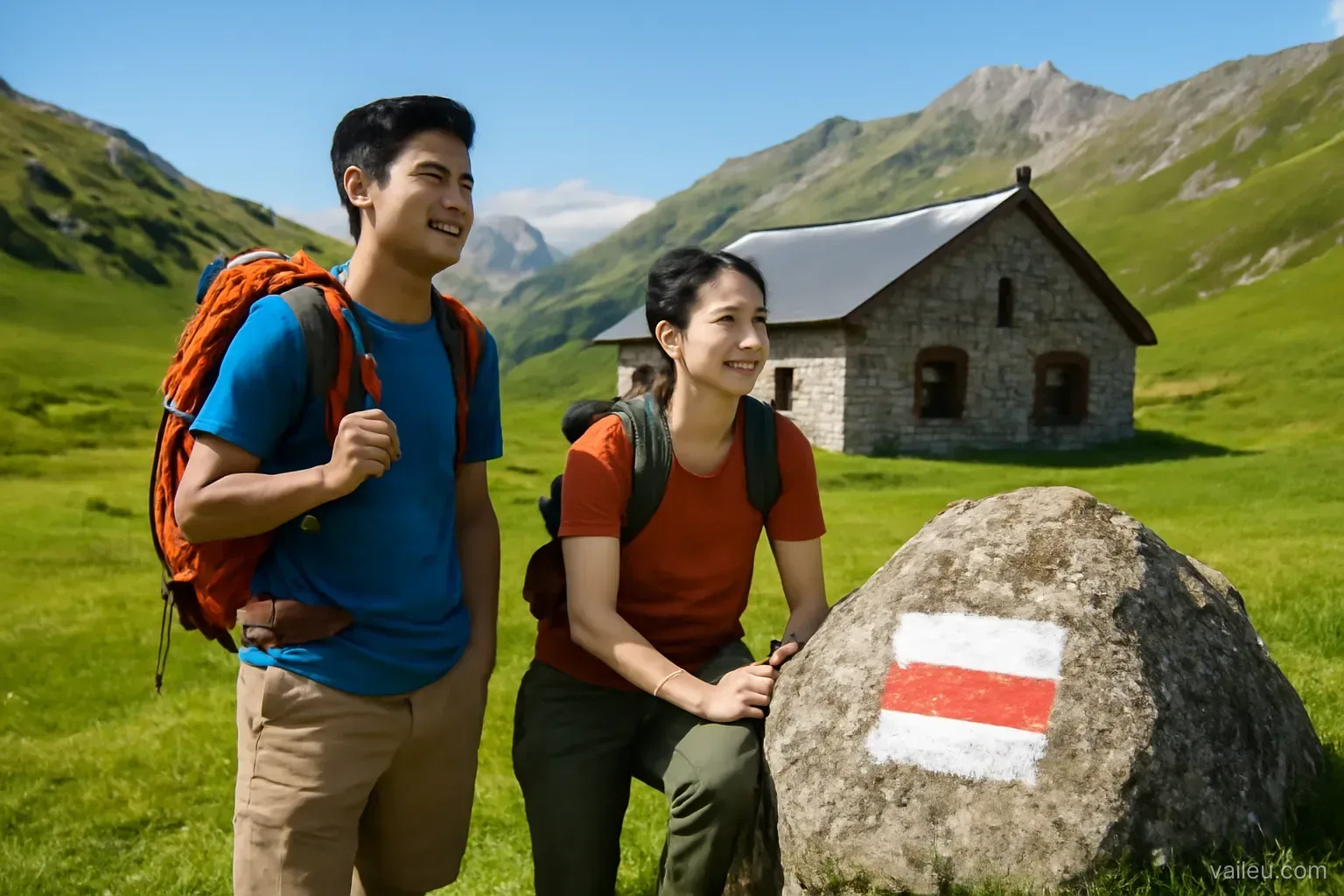
| Switzerland | White – red – white stripes | Mountain trail: steep, narrow, rocky sections; hiking boots and a head for heights |
| Switzerland | White – blue – white stripes | Alpine route: may cross glaciers or scree; experience and sometimes equipment required |
| France | White – red stripes | GR long-distance route |
| France | Yellow – red stripes | Regional GR, usually a loop around an area |
| France | Yellow stripe | Short day walk around a village |
In Austria, mountainous Germany and Italy, red-white-red marks with a route number are common. The French system has a handy convention: two stripes crossed in an X mean wrong way, and a bent stripe warns of a turn.
Swiss and Austrian signposts show walking time, not kilometres. The figure assumes a steady pace without breaks. Beginners, people with heavy packs or families with children often need 20–40% more. Calibrate yourself: after the first two or three signs, compare your actual time with the posted one.
Choosing a route you can handle
Switzerland uses its alpine club’s scale from T1 to T6. T1 matches easy yellow trails; T2–T3 are white-red-white mountain trails; T4 and above are alpine terrain, not for beginners. Other countries have similar scales or written descriptions.
Three numbers matter, in this order:
- Total ascent. Untrained walkers usually manage 500–800 m of climbing a day comfortably. A route with 1,200 m of ascent is a very long day for a beginner, even if it is only a dozen kilometres.
- Total descent. Long descents hurt knees more than climbs. Trekking poles help a lot.
- Maximum altitude. Above roughly 2,500 m some people tire faster or get a mild headache. It is manageable if you go slowly and drink enough, but do not plan your first day high up straight off a long-haul flight.
A sensible progression: day one, a three-to-four-hour yellow trail in the valley; day two, take a cable car up and walk a short white-red loop; day three, try a route with a night in a hut. Cable cars and cog railways are a legitimate tool in the Alps, not cheating: they let you skip steep forest slogs and spend your energy on the best part.
Staying in mountain huts
Mountain huts (Hütte, refuge, rifugio) are the signature experience of European mountains. They sit where roads do not reach and are supplied by goods cableway or helicopter. Most high huts open only in summer, typically from late June to mid or late September depending on altitude and snow. Check the hut’s own dates.
Booking and meals
Book through the hut’s website or the alpine club’s booking system. The usual package is half board: a bed, a multi-course dinner and breakfast. Alpine club members usually get reduced rates, and some clubs recognise each other’s cards. If you live in Europe and hike often, consider joining one.
If plans change, cancel. Huts cook for the number booked; no-shows waste food that was hard to bring up and may even trigger a search.
Dormitories and hut routines
- The norm is a dormitory, sometimes a long row of mattresses. Some huts have small rooms for two to six people that must be booked early.
- A thin sleeping-bag liner is almost always required; blankets are shared, the liner keeps things hygienic.
- Boots stay in the boot room by the entrance; huts provide indoor slippers.
- Quiet time usually starts around ten in the evening. Alpinists leave very early, sometimes before dawn. Bring earplugs and a headlamp with a red-light mode.
- Hot water and showers are limited or absent. Use water sparingly; at this altitude every litre counts.
- Carry your rubbish back down. Many huts can only get rid of waste by flying it out.
- Many huts take cards, but not all, and mobile signal can be patchy. Carry some cash.
Dinner is usually at long shared tables at a fixed time. Strangers compare tomorrow’s routes, and the hut keeper often announces the weather forecast. Listen carefully, even if you need a neighbour to translate.
Mountain weather: afternoon storms and June snow
The key summer rule in European mountains is start early, finish early. On hot days, clouds build from midday and storms can arrive in the afternoon with lightning, hail and a sharp temperature drop. Locals set off at first light and aim to clear the highest section before noon.
- Use the national weather service forecast and look at hourly storm risk.
- Set a turnaround time before you leave. If you have not reached the pass or summit by then, turn back without bargaining with yourself.
- Early in the season many north faces and high passes still hold snow. An ordinary T2 trail can become dangerous when it crosses a hard morning snowfield. Ask the hut or tourist office about conditions.
- Even in August, temperatures above 2,000 m can drop close to freezing in bad weather. A waterproof jacket, warm layer, thin gloves and a hat are not overkill.
A beginner’s daypack
A 20–30 litre pack is enough for a day; a hut night needs about 30–40 litres since you carry no tent or stove. A short list:
- Shoes with good grip that you have already broken in. Brand-new boots are the top cause of blisters.
- Waterproof jacket, warm layer, a dry spare top.
- At least 1.5–2 litres of water; ask locally whether streams and fountains on the way are drinkable.
- Energy food, bread, nuts.
- Sunscreen, sunglasses, a hat. Sunlight at altitude is intense, especially near snow.
- Offline maps on your phone and a power bank; for long routes, a paper map too.
- A small first-aid kit and blister plasters.
- Trekking poles, particularly for long descents.
Safety, rescue and insurance
The common emergency number in the EU is 112. In Switzerland there is also 1414, the helicopter rescue service. When calling, give your location (map apps show coordinates), group size, injuries and local weather.
Helicopter rescue is not free in many countries and can be very costly. The travel insurance bought for a visa application may not cover mountain rescue or activities above a certain altitude. Read the clauses, ask the insurer, or buy suitable cover. Membership of some alpine clubs includes rescue insurance.
- Tell the hut or someone at home your route and expected arrival time.
- Do not hike white-red trails alone while you are still learning.
- Stay on the path. Shortcuts across meadows cause erosion and can lead to drop-offs.
- Close pasture gates behind you. Give cows with calves a wide berth, keep dogs away and never walk through the middle of a herd.
Good regions for a first trip
Swiss valleys, Austria’s Tyrol and Italy’s Dolomites have dense cable-car networks, many huts and clear waymarking, ideal for a first trip. The Pyrenees are wilder and quieter. Norway has a network of mountain cabins run by its trekking association, many self-service. Scotland’s hills are lower, but the weather turns fast and many areas have no paint marks, so map reading matters.
Pick one region, stay three or four nights in a village with a railway and a cable car, and walk in a different direction each day. It is the lowest-risk way to begin, and often the trip people remember longer than a ten-city tour.
Frequently asked questions
Can someone with no mountain experience hike in the Alps?
Yes, with the right route. Start on ordinary hiking trails (yellow signs in Switzerland), three to four hours with a few hundred metres of climbing, before moving up to white-red-white mountain trails.
Do I need to book mountain huts in advance?
It is wise, especially on July and August weekends. If your plans change, cancel, because the hut cooks dinner for the number of guests booked.
What should I bring for a night in a hut?
A thin sleeping-bag liner, which most huts require, plus a headlamp, earplugs, compact toiletries and some cash in case cards do not work.
Which number do I call in a mountain emergency?
Call 112 anywhere in the EU. In Switzerland you can also call 1414 for the helicopter rescue service. Give your location, group size and injuries.
Does ordinary travel insurance cover mountain rescue?
Not always. Check the clauses on rescue, helicopter evacuation and activities above a certain altitude before you go.