Europe does space cooperatively: countries pool budgets and expertise through the European Space Agency, ESA, while the European Union owns and operates two systems that serve everyday life, the Galileo satellite navigation system and the Copernicus Earth observation programme. What makes the European approach notable is not a race to plant flags but the decision to turn space into civilian infrastructure, with a great deal of data open to the whole world.
For Vietnamese readers this is closer than it seems: the positioning signal in your phone, satellite images tracking floods or harvests, and climate data used by scientists at home may all come from these programmes.
Why Europe chose a shared path
As early as the 1960s, European countries realised that space programmes were too expensive and complex for any one nation. After several cooperative experiments, ESA was created in the mid-1970s. Members contribute to some mandatory programmes, such as science, and choose which optional programmes to join according to their priorities.
A key principle is that much of what a country contributes flows back as contracts to its own companies and institutes. Every member therefore has a reason to stay engaged, and the space industry grows in many places rather than one.
What ESA does
- Space science: probes to comets, Mars and Mercury, and space telescopes, often with other space agencies.
- Earth observation: satellites measuring climate, ice, oceans and the atmosphere.
- Launchers: rockets that give Europe independent access to orbit.
- Human spaceflight: European astronauts on the International Space Station.
- Telecommunications and navigation: technology for civilian systems.
Galileo: a civilian navigation system
Most of us know GPS, run by the United States. Galileo is Europe’s global navigation system, and its distinguishing feature is that it was designed under civilian control from the start. Europe’s reason for wanting its own system is easy to understand: positioning has become core infrastructure for transport, banking, telecoms and rescue services, and relying entirely on an outside system is a risk.
For users, the systems are complementary. Many recent phones receive signals from several systems at once, giving faster and more accurate positions, especially among tall buildings. Galileo also supports search and rescue, helping distress beacons be located more quickly.
Copernicus: eyes on the Earth
Copernicus is the EU’s Earth observation programme. At its heart are the Sentinel satellites, each family measuring something different: radar images that see through clouds, high-resolution optical images of land and crops, sea temperature and colour, and atmospheric composition. Satellite data is combined with ground measurements to provide services on the atmosphere, oceans, land, climate, emergencies and security.
Radar imaging is especially useful in cloudy tropical regions like Vietnam because it sees through cloud and works at night. When major floods strike anywhere, the emergency management service can quickly produce flood maps to support relief.
Open data: the decision that made the difference
The most admirable part of Copernicus is its open data policy: most core data is free for anyone, anywhere. The reasoning is that data created with public money produces the most value when the most people use it — scientists, farmers, start-ups, regulators and students.
The result is a whole ecosystem of applications: crop health monitoring, wildfire warnings, air quality tracking, urban mapping and sea-level research. Many Vietnamese researchers have used this data for theses and projects on deltas, forests and coasts.
Uses close to home for Vietnam
- The Mekong Delta: tracking saltwater intrusion, subsidence, coastline change and rice seasons.
- Disasters: mapping flooded areas after storms and assessing landslides.
- Forests: detecting changes in forest cover.
- Air: monitoring dust and pollutant gases at regional scale.
- Seas: surface temperature and algal blooms, supporting fisheries and aquaculture.
A culture of long-term planning
Space projects force a particular discipline. A satellite designed today may launch years later and operate for a decade or more after that, so engineers must plan for technologies that do not yet exist and governments must commit funding beyond a single electoral cycle. This long view, sustained across many countries with different politics, is perhaps the quietest achievement of European space cooperation.
Missions that inspire
Beyond everyday infrastructure, ESA is known for bold science missions: landing a probe on a comet, mapping more than a billion stars in our galaxy, sending spacecraft to other planets and partnering on new-generation space telescopes. These missions take decades from idea to result, requiring a rare kind of political patience.
Challenges and debates
European space has its difficulties. Galileo faced delays and cost overruns. Member states have different priorities, so major decisions require long negotiations. Europe’s launch sector faces stiff competition from private companies with reusable rockets. Space debris is a growing problem that Europe is trying to help address.
These difficulties are discussed openly in reports and ministerial meetings, part of a transparent style of governance.
What Vietnamese students can take from this
If you are interested in space engineering, remote sensing or data science, there are many ways in. Copernicus data can be downloaded and processed with open-source tools. Many European universities offer master’s programmes in remote sensing, space engineering or geographic information systems. Free online courses on satellite data are increasingly common. Admission and scholarship conditions change every year, so check each university’s official pages.
Learning by doing with open data
One of the best things about open satellite data is that you do not need permission or money to start. A student with a laptop can download images of their home province, compare rice fields across seasons or watch a river change its course over several years. Small projects like these build real skills and make strong portfolio pieces when applying for study abroad or jobs in geospatial work.
Seeing European space up close
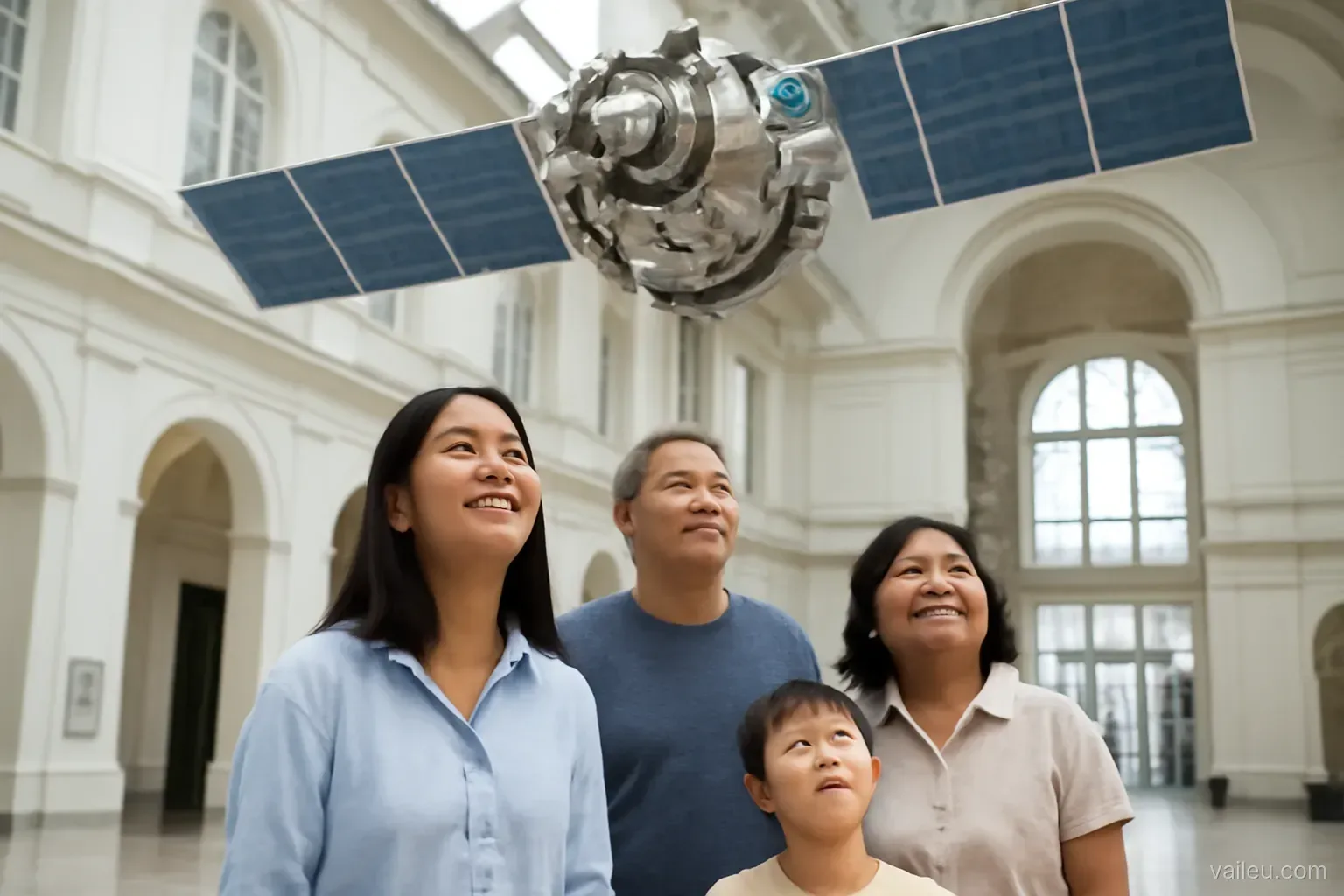
Several science centres and museums in Europe have space exhibitions with satellite models, rockets and public talks. For families with young children, they are enjoyable and educational stops. Check opening times and exhibitions before you go.
What to remember
Europe’s space programme shows another way: cooperation among many countries, priority on civilian infrastructure, and data treated as a common good. Galileo makes positioning more precise, Copernicus helps us see a changing planet more clearly, and both serve not only Europeans but everyone on Earth, including us.
Frequently asked questions
Is ESA an EU agency?
Not exactly. ESA is a separate intergovernmental organisation whose members largely but not fully overlap with the EU, and the two cooperate closely on Galileo and Copernicus.
Does my phone use Galileo?
Many recent smartphones can receive signals from several navigation systems, including Galileo. Check your phone’s technical specifications.
Is Copernicus data free?
Most core Copernicus data is provided free and openly to users worldwide under the programme’s data policy.
How can European satellite data help Vietnam?
Satellite images and data can support monitoring of floods, saltwater intrusion, crops, forests and air quality, and researchers worldwide use them.
Can I visit European space facilities?
Some centres and museums have public exhibitions. Check each site’s official website for opening times.